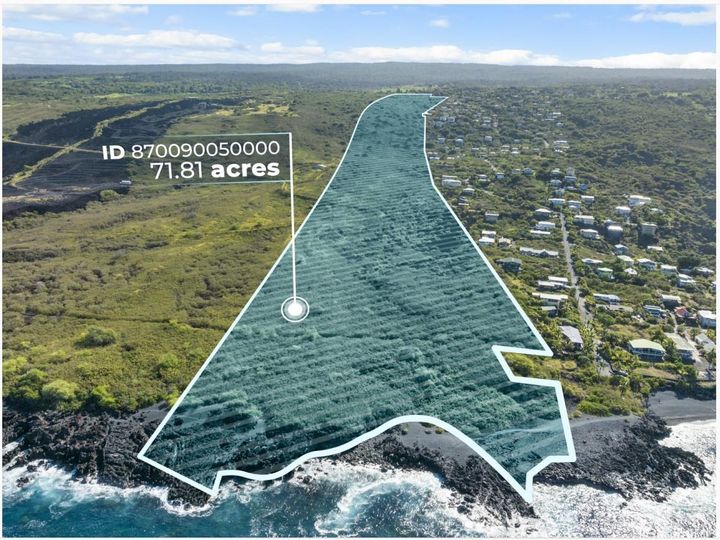
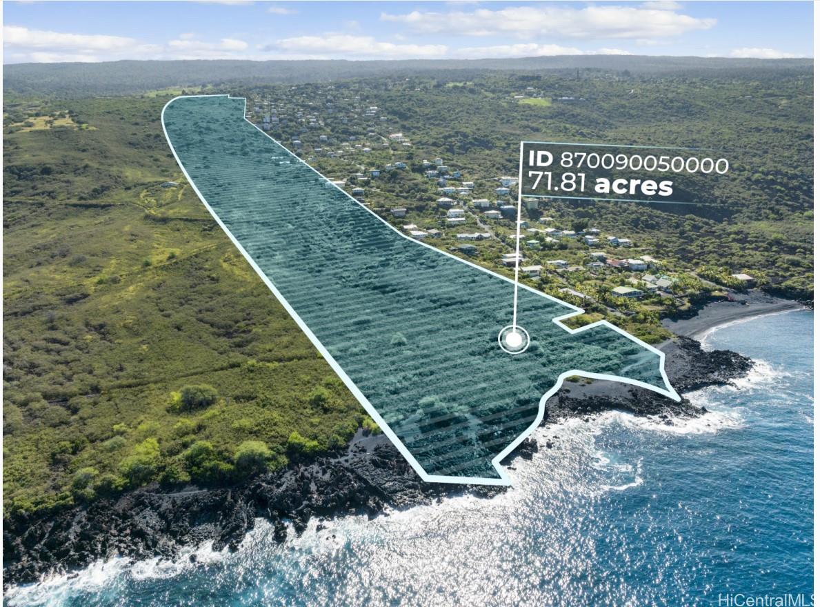
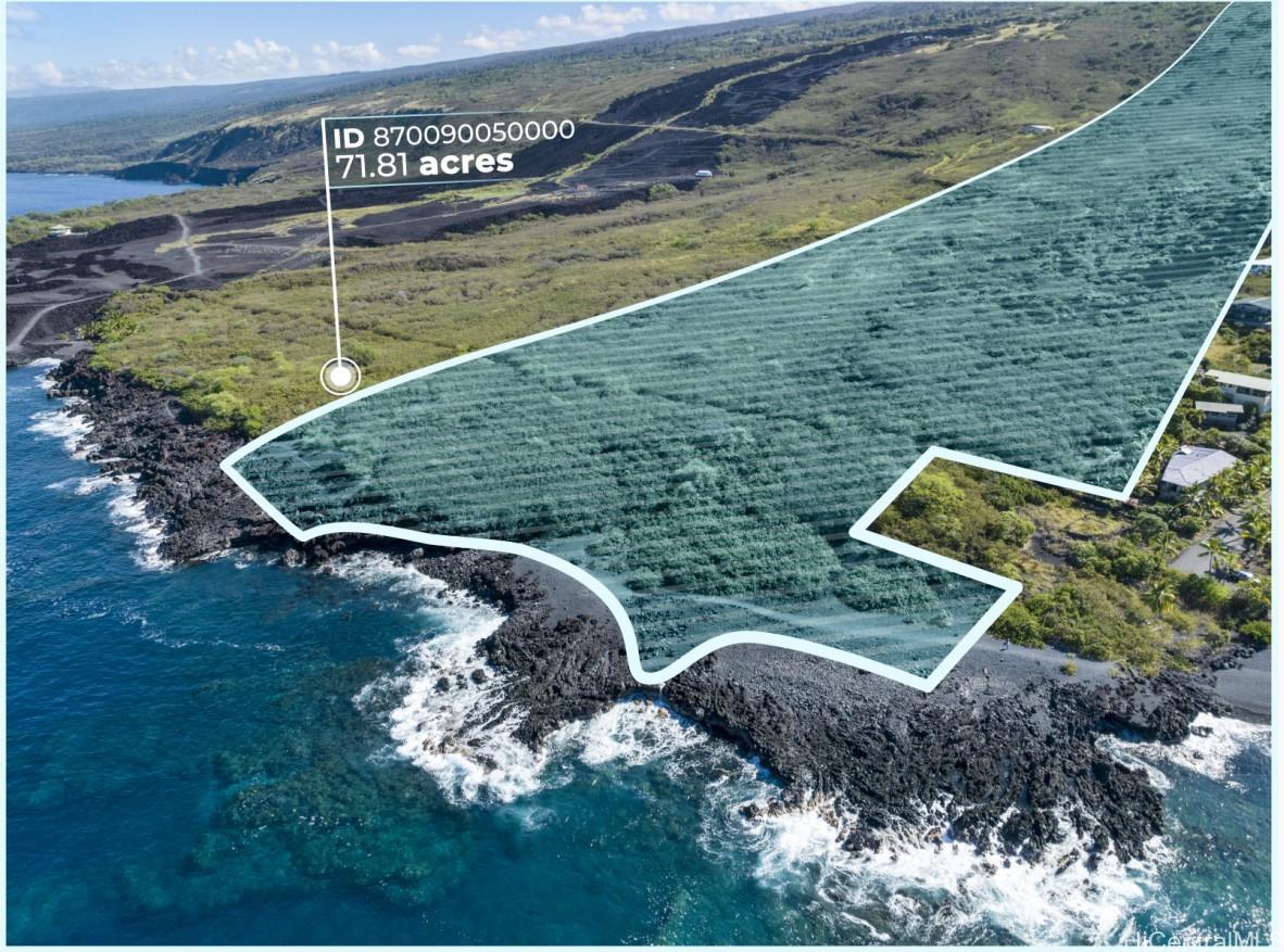
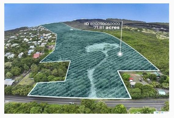
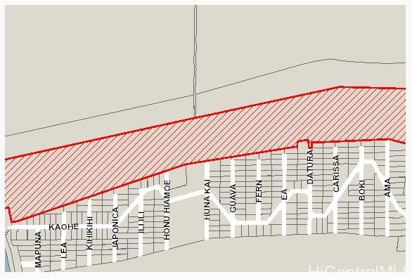
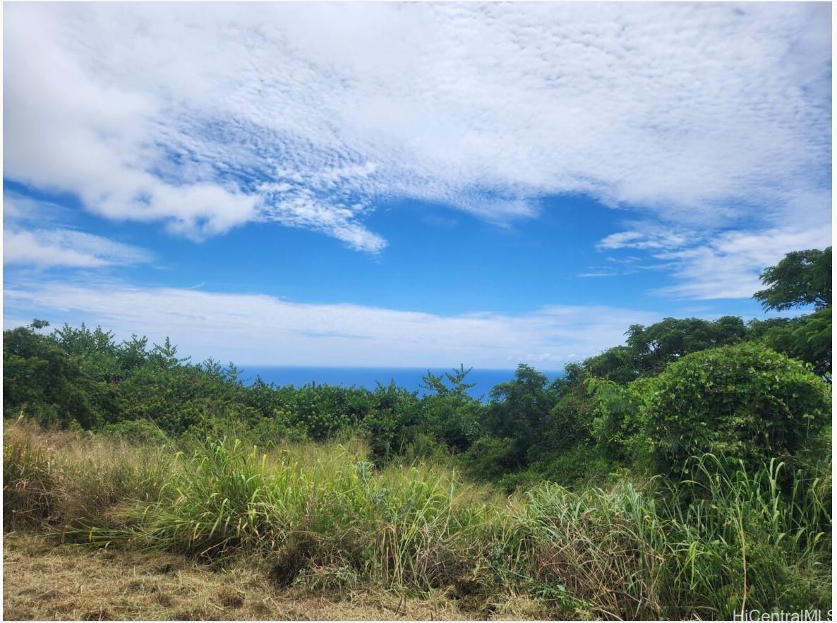


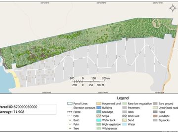

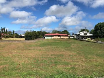
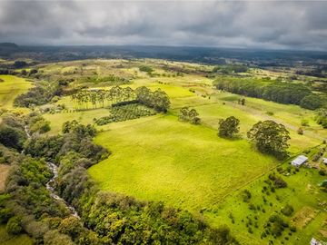
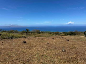
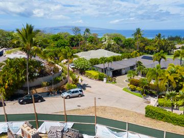
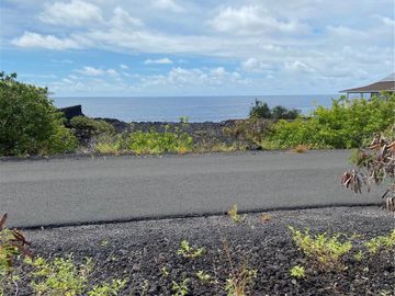
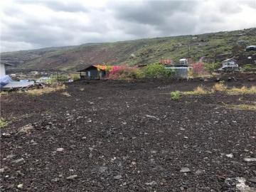
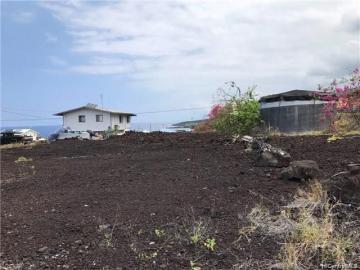
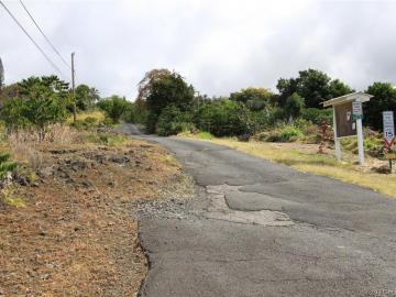
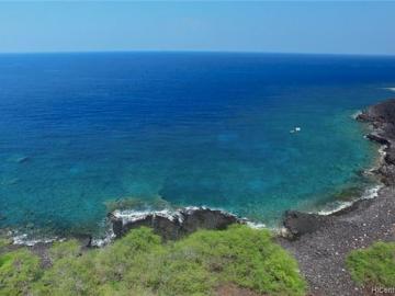
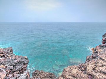
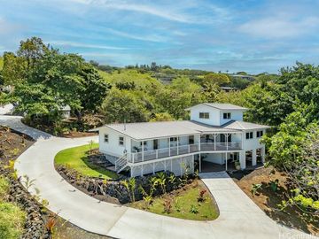
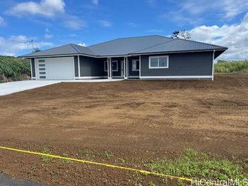
1 Mamalahoa Hwy #A Captain Cook, HI, 96704
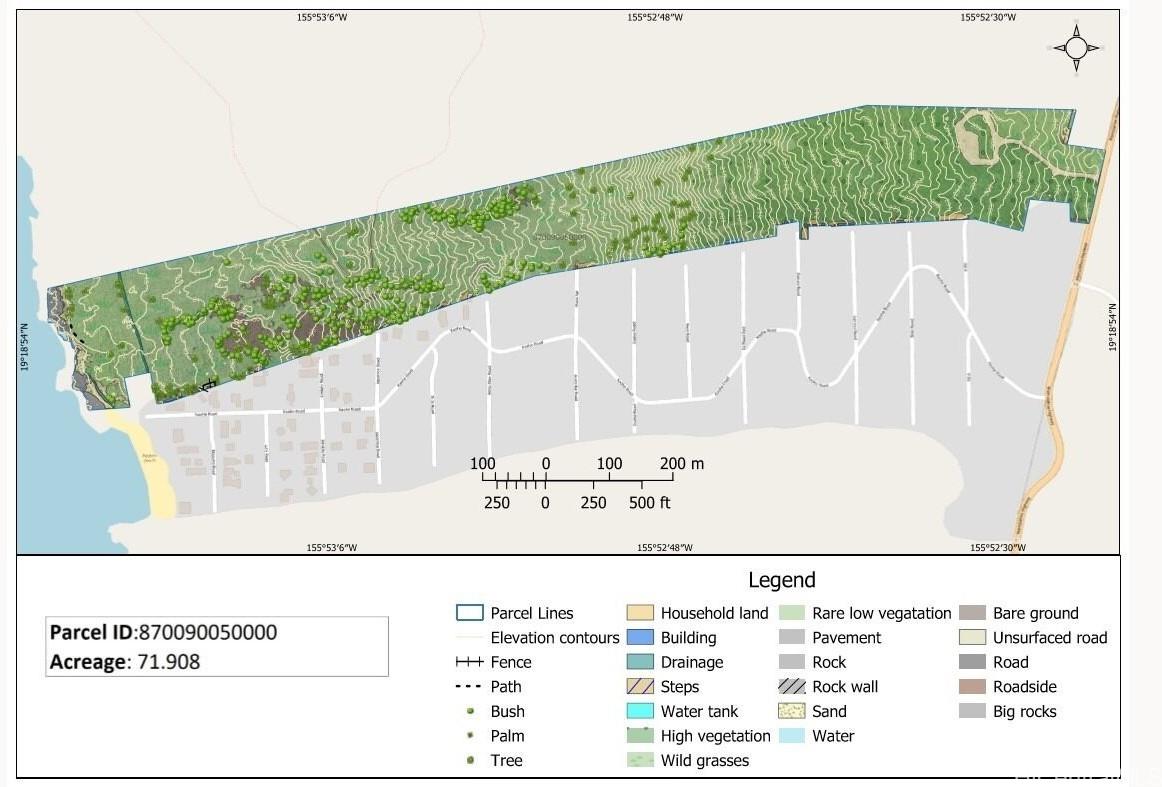
Neighborhood: Kaohe Makai$1,699,999 Land cancelled 71.91 acres
Property details
Open Houses
Listed by
(808) 738-3904
(808) 738-3904
Payment calculator
Lot details
Kaohe Makai neighborhood info
People living in Kaohe Makai
Age & gender
Median age 47 yearsCommute types
81% commute by carEducation level
27% have high school educationNumber of employees
2% work in education and healthcareVehicles available
37% have 2 vehicleVehicles by gender
37% have 2 vehicleHousing market insights for #A
Housing type
82% are single detachedsRooms
46% of the houses have 4 or 5 roomsBedrooms
65% have 2 or 3 bedroomsOwners vs Renters
65% are ownersUtilities
Location Details, Documents & Disclosures
Schools
| School rating | Distance | |
|---|---|---|
| out of 10 |
Konawaena Elementary School
81-901 Onouli Road, Kealakekua, HI 96750
Elementary School |
0.688mi |
| out of 10 |
Ke Kula O Ehunuikaimalino
811041 Konawaena School Road, Kealakekua, HI 96750
Middle School |
0.887mi |
| out of 10 |
Ke Kula O Ehunuikaimalino
811041 Konawaena School Road, Kealakekua, HI 96750
High School |
0.887mi |
| School rating | Distance | |
|---|---|---|
| out of 10 |
Konawaena Elementary School
81-901 Onouli Road, Kealakekua, HI 96750
|
0.688mi |
| out of 10 |
Ke Kula O Ehunuikaimalino
811041 Konawaena School Road, Kealakekua, HI 96750
|
0.887mi |
| out of 10 |
Kona Pacific - Public Charter School
79-7595 Mamalahoa Hwy, Kealakekua, HI 96750
|
1.624mi |
| out of 10 |
Kona Pacific - Public Charter School
79-7595 Mamalahoa Hwy, Kealakekua, HI 96750
|
1.624mi |
| out of 10 |
Honaunau Elementary School
83-5360 Mamalahoa Hwy, Captain Cook, HI 96704
|
4.136mi |
| School rating | Distance | |
|---|---|---|
| out of 10 |
Ke Kula O Ehunuikaimalino
811041 Konawaena School Road, Kealakekua, HI 96750
|
0.887mi |
| out of 10 |
Konawaena Middle School
811045 Konawaena School Road, Kealakekua, HI 96750
|
0.933mi |
| out of 10 |
Konawaena Middle School
811045 Konawaena School Road, Kealakekua, HI 96750
|
0.933mi |
| out of 10 |
Kona Pacific - Public Charter School
79-7595 Mamalahoa Hwy, Kealakekua, HI 96750
|
1.624mi |
| out of 10 |
Kona Pacific - Public Charter School
79-7595 Mamalahoa Hwy, Kealakekua, HI 96750
|
1.624mi |
| School rating | Distance | |
|---|---|---|
| out of 10 |
Ke Kula O Ehunuikaimalino
811041 Konawaena School Road, Kealakekua, HI 96750
|
0.887mi |
| out of 10 |
Konawaena High School
81-1043 Konawaena School Road, Kealakekua, HI 96750
|
0.897mi |
| out of 10 |
Konawaena High School
81-1043 Konawaena School Road, Kealakekua, HI 96750
|
0.897mi |
|
High School of the Pacific
79-7486 Mamalahoa Hwy, Kealakekua, HI 96750
|
2.464mi | |
|
High School of the Pacific
79-7486 Mamalahoa Hwy, Kealakekua, HI 96750
|
2.464mi | |
Price history
| Date | Event | Price | $/sqft | Source |
|---|---|---|---|---|
| Apr 15, 2024 | Cancelled | $1,699,999 | 0.54 | MLS #202406707 |
| Apr 2, 2024 | $1,699,999 | 0.54 | MLS #202406707 | |
| Mar 19, 2024 | New Listing | $1,699,999 | 0.54 | MLS #202406707 |
Taxes of 1 Mamalahoa Hwy #A, Captain Cook, HI, 96704
Tax History
| Year | Taxes | Source |
|---|---|---|
| 2023 | $6,816 | MLS #202406707 |
Agent viewpoints of 1 Mamalahoa Hwy #A, Captain Cook, HI, 96704
As soon as we do, we post it here.
Similar land for sale
Similar homes nearby 1 Mamalahoa Hwy for sale
Recently sold land
Recently sold homes
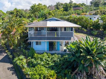
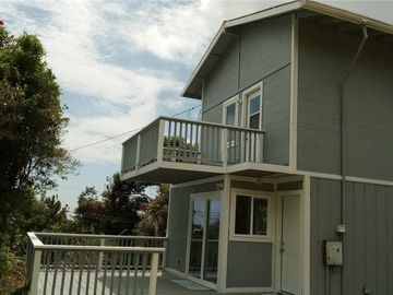
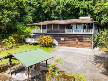
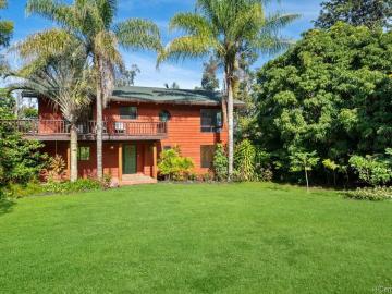
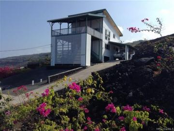
Similar homes for sale
Request more info
Frequently Asked Questions about 1 Mamalahoa Hwy #A
What is 1 Mamalahoa Hwy #A?
1 Mamalahoa Hwy #A is a lot of 71.91 acres (about is 3,132,400 sqft).
What is the full address of this Land?
1 Mamalahoa Hwy #A, Captain Cook, HI, 96704.
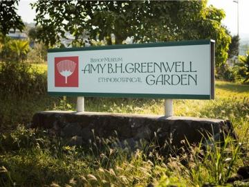
Tell me about the point of interest nearby
The closest grocery stores are Choicemart, 1.04 miles away and Karuho Store, 4.12 miles away.
Based on information from the Multiple Listing Service of HiCentral MLS, Ltd. Copyright 2024 by HiCentral Mls, Ltd. Listing courtesy of Coldwell Banker Realty.
Our company may forward your question(s), email address, phone number, name, and any other information you may provide to a licensed real estate agent in the state where the property you are inquiring about is located. We forward your information to assist you in getting you the answers you are requesting. However, you are not obligated to work with this agent. The agent we forward your information to may or may not be the listing agent for the property. Please discuss with the agent regarding your options for representation. Information deemed reliable but not guaranteed.
Listing last updated: Apr 15, 2024
Verhouse Last checked 5 minutes ago
The closest grocery stores are Choicemart, 1.04 miles away and Karuho Store, 4.12 miles away.
The Kaohe Makai neighborhood has a population of 66,575, and 25% of the families have children. The median age is 47.01 years and 81% commute by car. The most popular housing type is "single detached" and 65% is owner.


